About the Geospatial computing facility
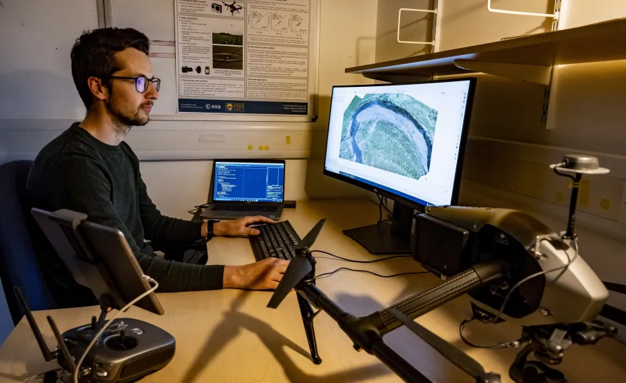
The Geospatial computing facility is a specialised IT facility for Geospatial data used for teaching, research and enterprise in Geography and Environmental Science. It is also used by the university more widely through Southampton Geospatial.
Geodata use the facility for the delivery of their training programme.
Its work requires the use of specialist software including Geographical information Systems (GIS) and processing of geospatial data from drones, satellites and other sensors.
The facility comprises two rooms:
- The David Robbins GIS suite (44/1065) is used for Master’s teaching and Geodata courses.
- The High specification Research Facility (44/1069) comprises 4 Hi-spec machines for processing geospatial data.


